 Cart(
Cart(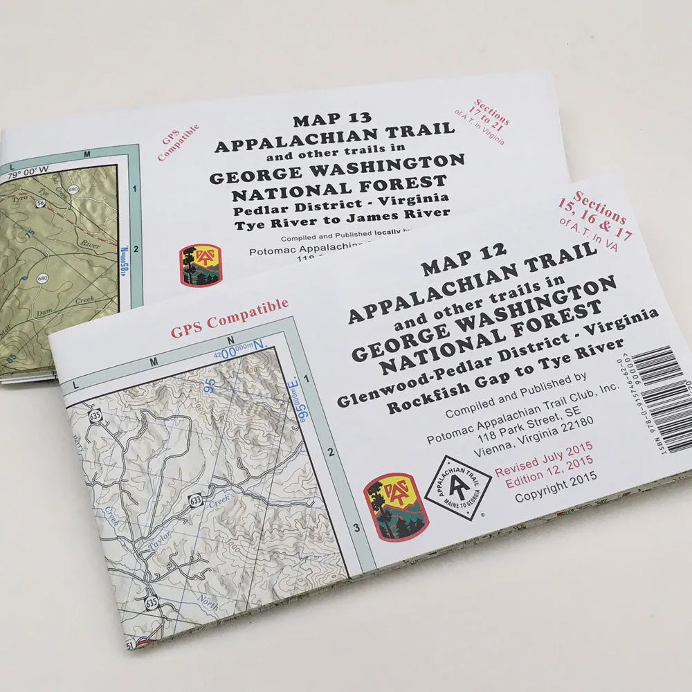
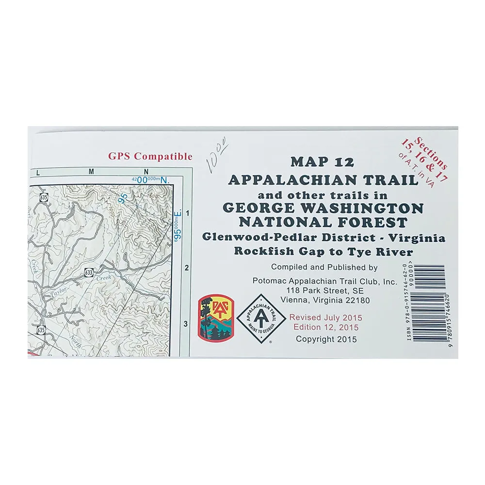
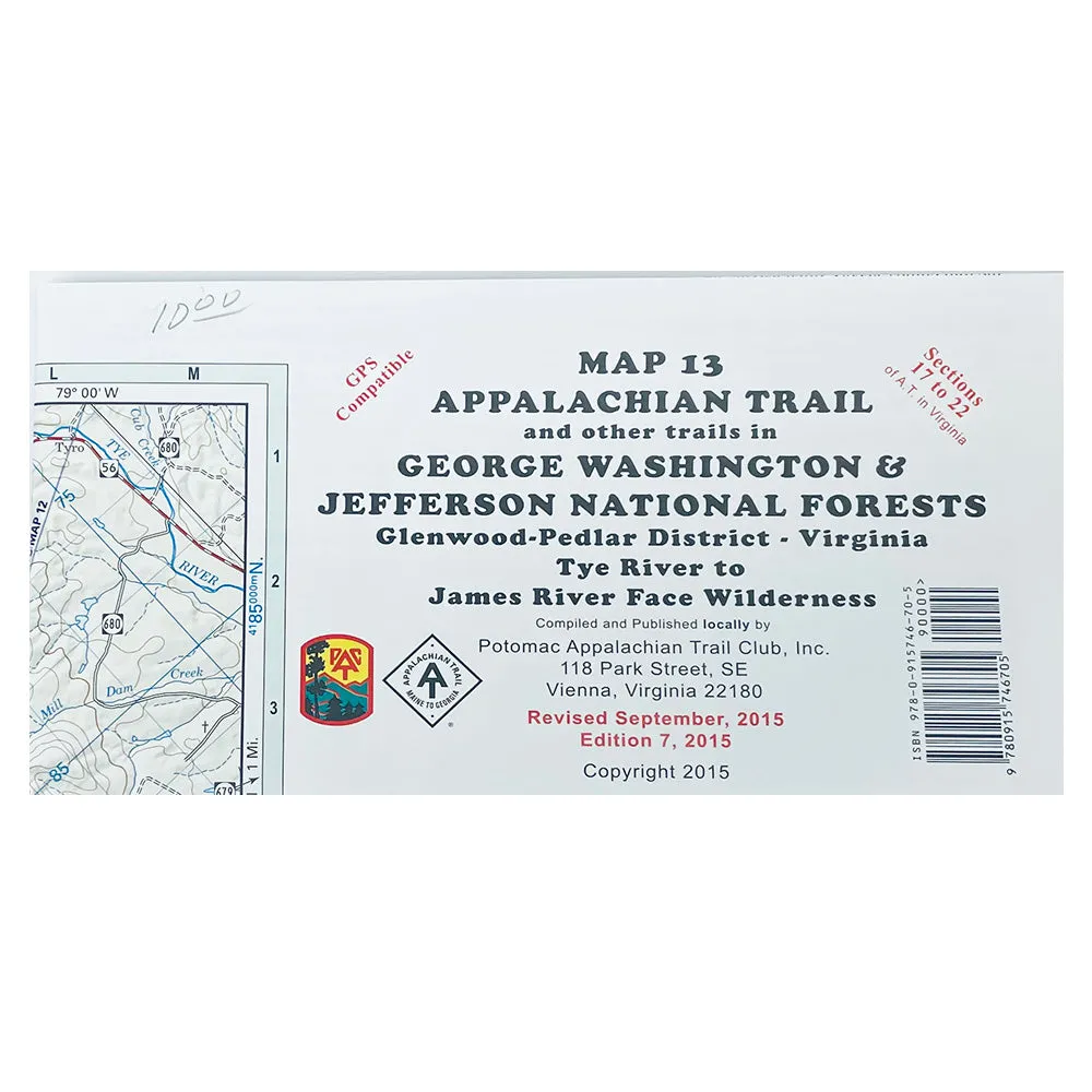
Appalachian Trail Maps (12, 13)- George Washington National Forest
These two trail maps cover the Appalachian Trail and other trails in George Washington National Forest.
(12th edition, 2015) PATC Map 12 features complete coverage of the northern half of the Glenwood-Pedlar District of George Washington National Forest. It shows the Appalachian Trail from Rockfish Gap (I-64) southward to Spy Rock Road near the Montebello State Fish Hatchery. A.T. Guidebook Sections VA-15 through VA-17 as well as all maintained side trails are shown on the map. It includes detailed enlargements of Rockfish Gap, the Sherando Lake Recreation Area, and the Humpback Rocks Area. An elevation profile for A.T. sections VA-15 and VA-16 is included. Printed on water-resistant, tear-resistant synthetic stock in 5 colors with a scale of 1:63,360 and contour interval of 100 feet. The grid projection is the UTM system with lines plotted 1 kilometer apart. Datum: NAD 83. Shows geographic latitude/longitude grid lines at a 5-minute interval. The back side includes updated trail descriptions for all side trails on the map. All trails on this new edition were surveyed on the ground in 2013-2015 by PATC-trained volunteer GPS surveyors.
(7th edition, 2015) PATC Map 13 features complete coverage of the central section of the Glenwood-Pedlar District of George Washington and Jefferson National Forests. It shows the Appalachian Trail from Spy Rock Road near the Montebello State Fish Hatchery southward to Petites Gap in the James River Face Wilderness. A.T. Guidebook Sections VA-17 through VA-22 as well as all maintained side trails are shown on the map. An elevation profile for A.T. sections VA-17 through VA-22 is included. Printed on water-resistant, tear-resistant synthetic stock in 5 colors with a scale of 1:62,500 and contour interval of 100 feet. The grid projection is the UTM system with lines plotted 1 kilometer apart. Datum: NAD 83. Shows geographic latitude/longitude grid lines at a 5-minute interval. The back side includes updated trail descriptions for all side trails on the map. All trails on this new edition were surveyed on the ground in 2013-2015 by PATC-trained volunteer GPS surveyors.


